


MountainCarto
Montagne d’Italia – Large Physical Map
Montagne d’Italia – Large Physical Map
Then 10 € off every extra map — different titles count too. Applied automatically in your cart, on unframed editions.
Couldn't load pickup availability
Italy Told Through Its Mountains
Montagne d’Italia is a large physical wall map that reveals the country through its morphology: the Alps, the Apennines, the islands, and the seabed, without administrative boundaries, regions, or grids.
The terrain is shown in 2.5D, with a three-dimensional effect that clearly conveys the relationships between valleys, ridges, plateaus, and mountain chains. The result is a bright, highly detailed map designed to be a true wall display piece.
Ideal for:
- Lovers of geography, mountains, and Italian landscapes
- Gifts for hikers, outdoor enthusiasts, and map lovers
- Decorating studios, offices, schools, libraries, and exhibition spaces
What the Map Shows
- Major mountain systems: extensive portions of the Alps (according to the SOIUSA classification), the Apennine ridge, and the main island ranges.
- Key peaks and mountain groups: a carefully selected set of significant mountains, chosen through a prominence-based algorithm and manually verified.
- Land cover: forests, grasslands, rocky areas, glaciers, and other environments, represented with dedicated color palettes.
- Seafloor: underwater relief, ridges, canyons, basins, and shoals, with highlighted marine toponymy.
- Extensive toponymy: names of mountain groups, peaks, ridges, plateaus, and the main geographic areas of Italy.
Print Details
- Size: 100 × 140 cm
- Technique: high-resolution offset printing with a luminous finish on 250 g/m² matte coated paper certified by PEFC, ensuring the use of fibres from sustainably managed forests.
Shipping
Tracked shipping with email notification. Framed maps are shipped fully insured against loss or damage.
Italy: 2–3 business days · International: 3–5 business days
Creation
This map was personally created with care and passion by Marco Barbieri, cartographer and mountain enthusiast.
Share


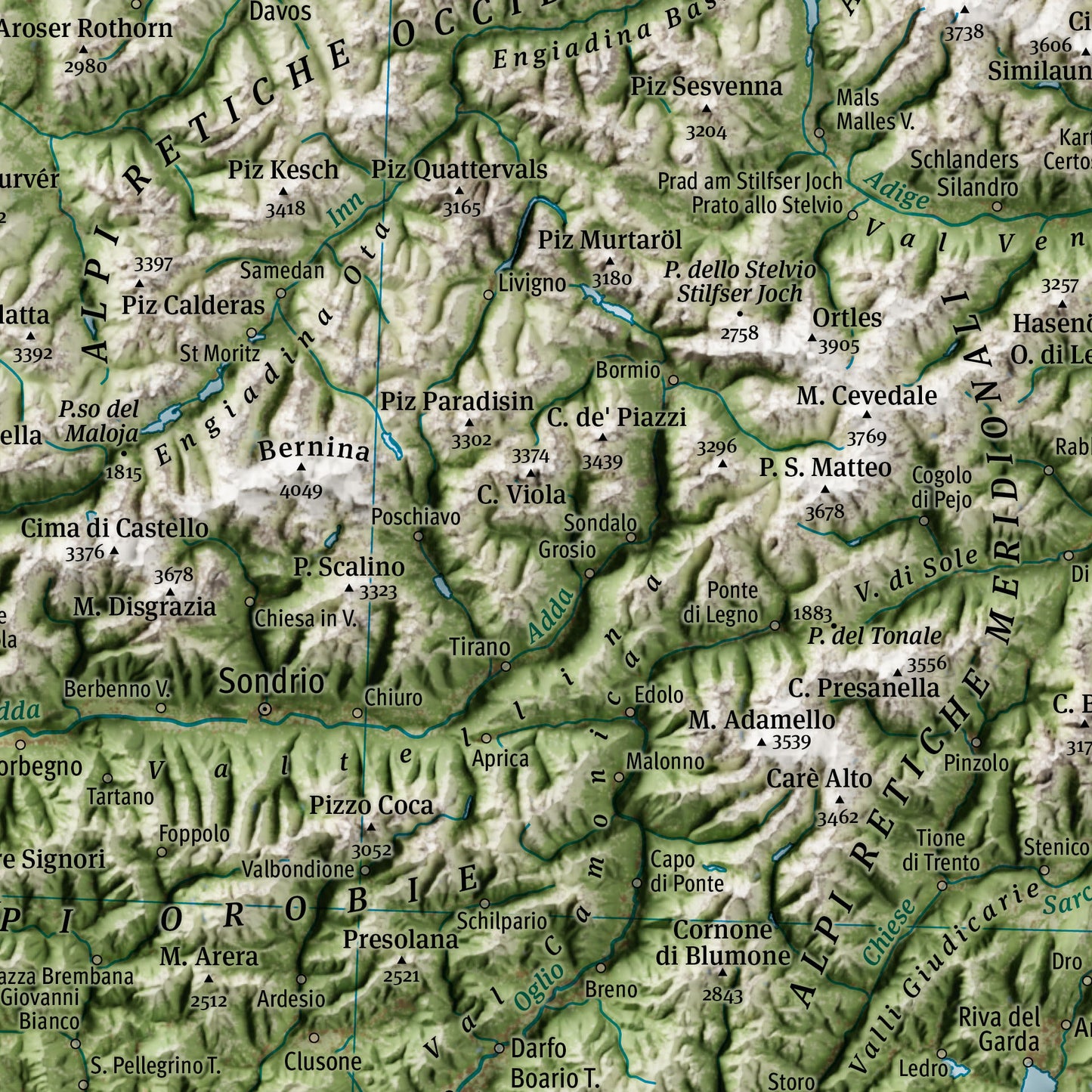
Explore the high-resolution map
Avrei preferitoci fossero maggiori dettagli.. e qualche indicazione dimontagne in grassetto
Cartina grande e meravigliosa, di ottima qualità.
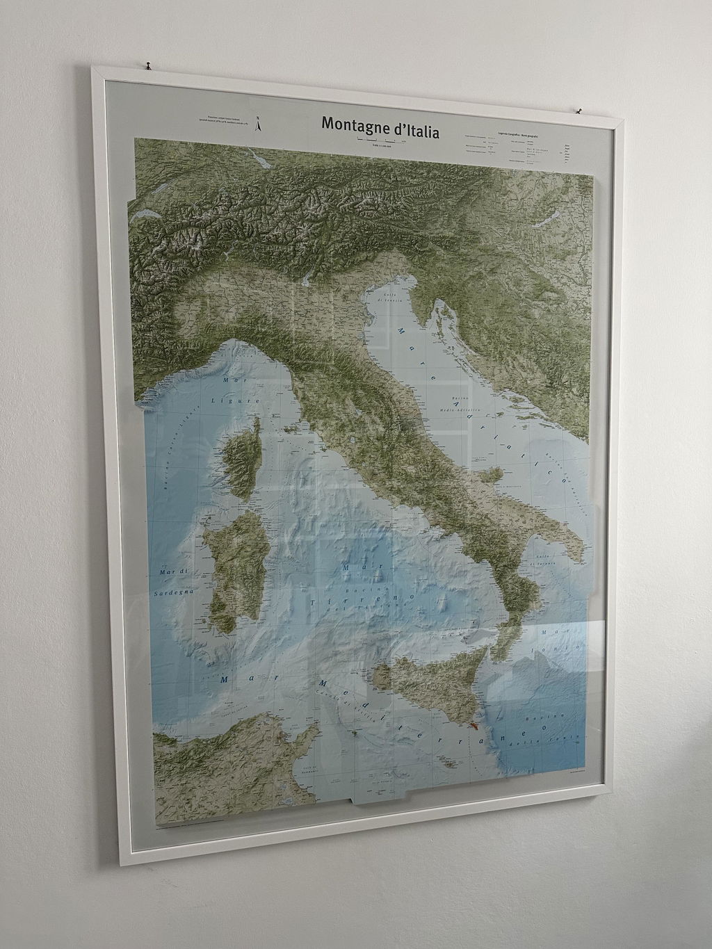
Davvero bellissima