Cartography, Data & Mountains: News from MountainCarto

New edition of the Dolomites panoramic map
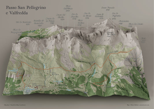
The new print run of the panoramic Dolomites map comes with small typographic improvements and confirms the matte finish preferred by customers. Now available in the shop.
New edition of the Dolomites panoramic map
The new print run of the panoramic Dolomites map comes with small typographic improvements and confirms the matte finish preferred by customers. Now available in the shop.

Mountains of Italy: the new large MountainCarto...
A large physical map of Italy, created in a 100×140 cm format, placing the country’s morphology at the center: Alps, Apennines, islands, and seafloor depicted in a richly detailed 2.5D...
Mountains of Italy: the new large MountainCarto...
A large physical map of Italy, created in a 100×140 cm format, placing the country’s morphology at the center: Alps, Apennines, islands, and seafloor depicted in a richly detailed 2.5D...

Coming soon: From Monte Rosa to Grand Combin
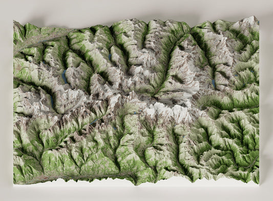
MountainCarto’s new panoramic map depicts the Alpine arc between Monte Rosa and Grand Combin, featuring the great 4000-meter peaks of the Pennine Alps such as the Matterhorn, Dent Blanche, and...
Coming soon: From Monte Rosa to Grand Combin
MountainCarto’s new panoramic map depicts the Alpine arc between Monte Rosa and Grand Combin, featuring the great 4000-meter peaks of the Pennine Alps such as the Matterhorn, Dent Blanche, and...

The Digital Cadastre of the Italian Hiking Network
The Italian Hiking Network (REI) covers more than 150,000 km of trails across the Alps and the Apennines. Thanks to the Italian Alpine Club, local sections, and many other organizations,...
The Digital Cadastre of the Italian Hiking Network
The Italian Hiking Network (REI) covers more than 150,000 km of trails across the Alps and the Apennines. Thanks to the Italian Alpine Club, local sections, and many other organizations,...

New maps in progress... and a summer break
A preview of the maps in progress: from Monte Rosa to Grand Combin, plus new wall maps for schools. And then a short summer break — the shop stays open,...
New maps in progress... and a summer break
A preview of the maps in progress: from Monte Rosa to Grand Combin, plus new wall maps for schools. And then a short summer break — the shop stays open,...

Geography and Landscape of the Dolomites: a Jou...
Between field excursions and theoretical insights, the Course on Geography and Landscape of the Dolomites World Heritage Site offered a unique opportunity to closely observe the glacial environments of Passo...
Geography and Landscape of the Dolomites: a Jou...
Between field excursions and theoretical insights, the Course on Geography and Landscape of the Dolomites World Heritage Site offered a unique opportunity to closely observe the glacial environments of Passo...